The Comfort-First Route: Winter Planning Around the Stops That Actually Matter
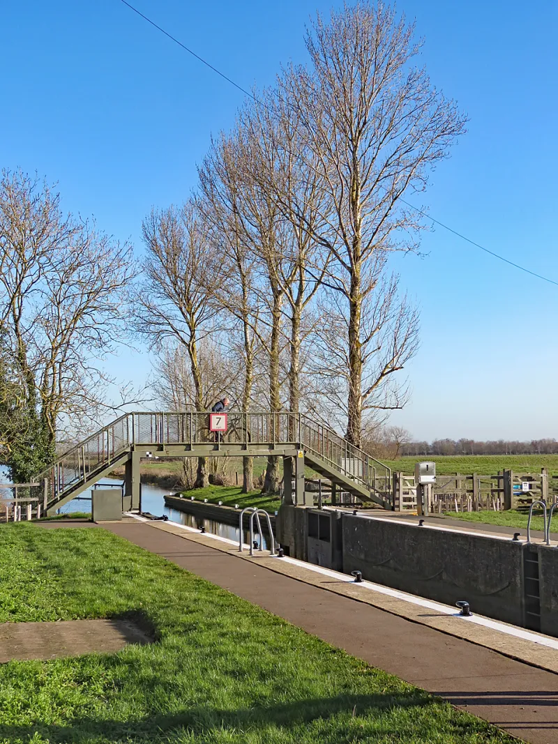
Photo: John Sutton , CC BY-SA 2.0, via Wikimedia Commons
Most winter route planning begins with a café. Fair enough. A good brew stop is the emotional centre of a weekend ride, and no one at Your Spokes is going to argue against cake. But there is another layer of route planning that rarely gets a mention in the glossy ride guides: the loo layer. The village hall. The station concourse. The council-run public conveniences that look deeply unglamorous on a map and absolutely save the day when the temperature is hovering around four degrees and you have another twenty miles to ride.
This is not the most poetic skill in cycling. It is, however, one of the most useful. A winter route built only around café names is a route with a single point of failure. A winter route built around reliable facilities is a route that gives you options, confidence and a reason to keep going rather than quietly cut things short.
Why the humble loo belongs on your route card
Cold-weather riding does strange things to a ride plan. You drink less because the bottle is cold. You drink more tea because the café is warm. You wear more layers, stop more often, and suddenly realise that the thing you really need is not another gel or a revised gear chart. It is a clean, open, sensible place to stop.
For everyday riders and weekend miles, that matters more than it sounds. A reliable facility stop gives you a place to adjust layers, refill a bottle, check the map, eat something and reset. It turns a long cold ride into a series of manageable chunks. It also makes a route more inclusive: a rider who needs a toilet every hour is not being difficult; they are being a human being on a bicycle.
And yet we often plan winter routes as if the only infrastructure that counts is a café with a bike rack and a friendly sign. Cafés are brilliant. They are just not the whole story.
Reading the map like a rider, not a tourist
Start with the tools you already use — Ordnance Survey, cycle.travel, Komoot, RideWithGPS — and look beyond the coffee cup icons. Public toilets often appear as small symbols or points of interest. Village halls, community centres, libraries, leisure centres, supermarkets and station buildings are all worth checking. The Great British Public Toilet Map is a useful starting point, though it is only as good as the data behind it.
Satellite view is your friend. A toilet pin on a main road may be a grim concrete block with no shelter and a locked gate. A village hall might have a noticeboard, a bench and a tap. A station might have toilets behind the barrier, which is fine if you have a ticket and less fine if you do not. Look at the actual shape of the place, not just the label.
Then think in anchors. For a winter ride, aim for a dependable stop roughly every fifteen to twenty miles, or more often if the group includes newer riders or the weather is properly grim. Mark them on the route card alongside distance and elevation. A good route card should tell you where the next cup of tea is coming from — and where the next loo is, too.
The pre-ride checks that save an afternoon
The internet is full of opening hours that were true three winters ago. Before you build a route around a facility, check the basics: opening times, seasonal closures, whether it is for customers only, whether station toilets sit behind ticket barriers, and whether there is step-free access. If a village hall is only open for events, it is not a facility; it is a building with potential.
Check for water, shelter and bike security. Can you lean the bike where you can still see it? Is there a bench out of the wind? Is there a tap, or just a hand dryer and a hopeful sign? Carry a little hand sanitiser, a packet of tissues and a contactless card or some change — some public conveniences still ask for a small fee, and the machine is not always in the mood.
Most importantly, have a second option. A plan B is not pessimistic; it is good route design. If the village hall is shut, where is the next station? If the station toilets are locked, is there a supermarket five miles on? If the café is full, is there a bench and a shop nearby? Write those alternatives down. Your future self, cold and squinting at a phone with 12% battery, will thank you.
Build the loop around bailout points, not just brews
A winter loop should be shaped around escape routes. That might mean a figure-of-eight that passes a station twice, a route that hugs a bus corridor, or a return leg that can be shortened without a full-scale navigation rethink. It does not mean you have to bail. It means the ride feels less like a commitment and more like a choice.
This is especially useful for club runs. A ride leader who knows where the reliable stops are can keep a no-drop group together with far less stress. The fast riders get their miles; the rider who needs a stop gets one without a debate. The route card becomes a shared document of care, not just a list of turns.
The unglamorous skill that makes winter miles easier
Planning around toilets, halls and stations is not a glamorous cycling skill. It will not make a beautiful photograph. But it does something quietly valuable: it removes a low-level anxiety that makes cold rides feel harder than they need to. When you know where you can stop, you relax. When you relax, you ride better. You might even extend the route rather than trimming it.
So by all means plan the café. Choose the cake. But put the loo on the route card too. Winter riding is much more enjoyable when the plan accounts for the fact that cyclists are people — and people need somewhere to go.